Utility surveying
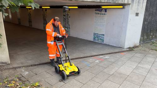
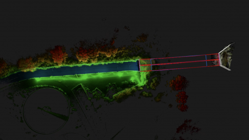
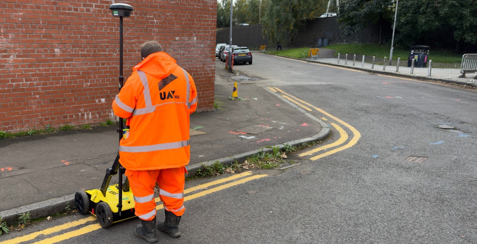
PAS 128 certified, UAV365 are on-hand to assist with your utility survey requirements. Whether it be borehole clearances, Ground Penetrating RADAR (GPR) and Electromagnetic Locating (EML) surveying, UAV365 can assist to trace and locate any and all sub-surface features you require.
Utility surveying case studies
The case studies below provide some recent examples of our work in utility surveying, but whatever your mapping, surveying or inspection challenge is, please contact us to explore how we can deliver the right solution for you.
To view all our case studies please click here.