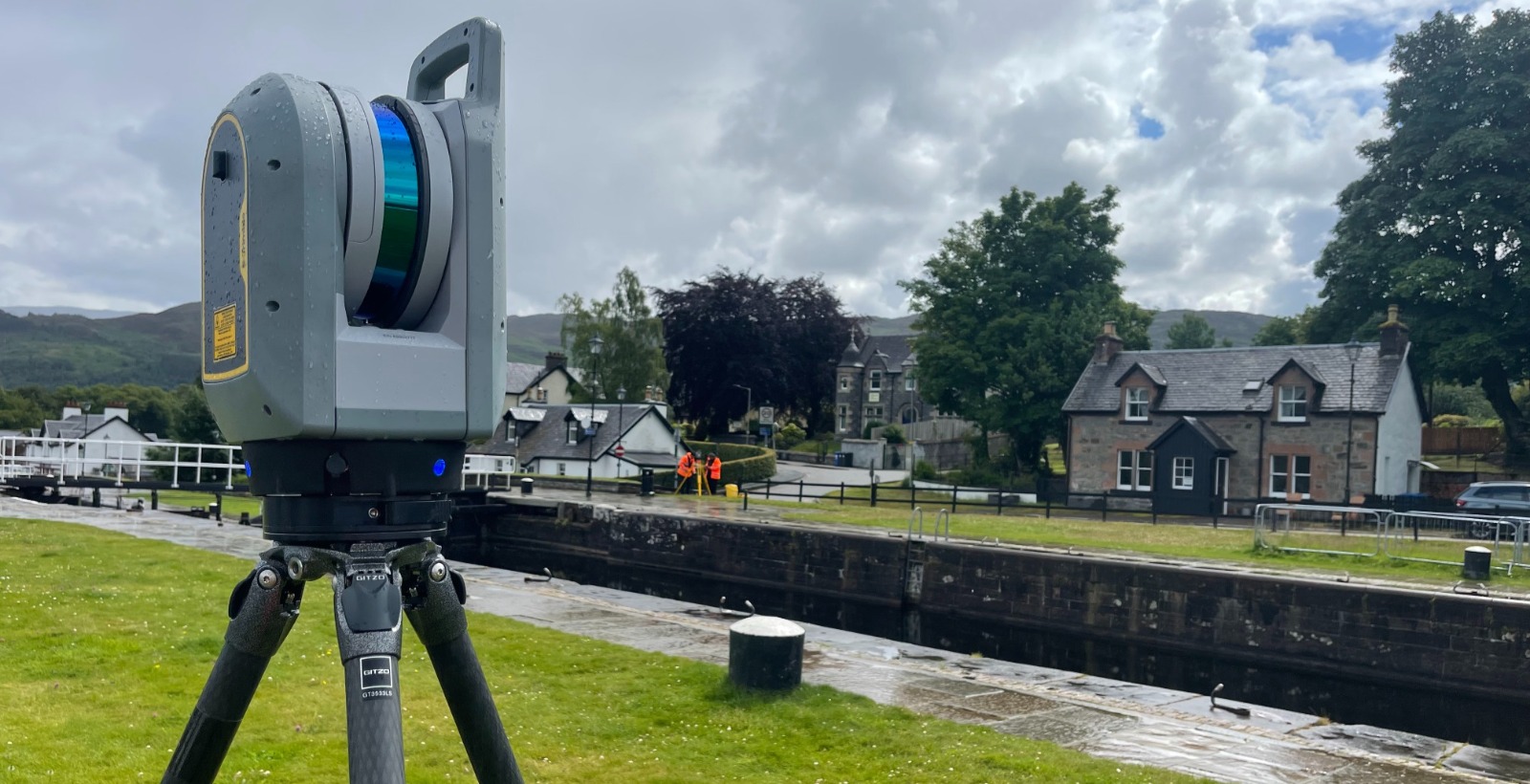
lASER SCANNING (LIDAR)
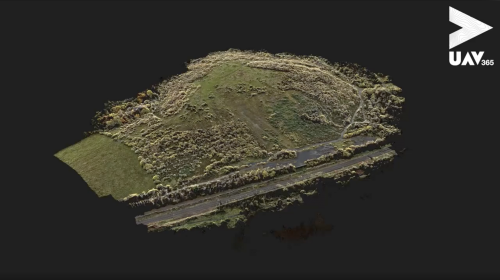
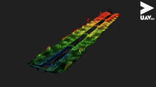
Terrestrial scanners, mobile mapping, and drone-based Light Detection and Ranging (LiDAR) solutions — we employ a range of LiDAR applications to suit the specific requirements of each project, regardless of its size.
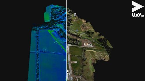
Whilst drone-based LiDAR is ideal for large-scale topographical surveys, UAV365 uses terrestrial LiDAR scanners for specific isolated locations.
Survey grade accuracy with a fraction of the time on site, our LiDAR applications allow us to collect large datasets, later to be digitised in the office. For jobs where time is of the essence, LiDAR could be the solution for you.
Laser scanning case studies
The case studies below provide some recent examples of our work in the laser scanning field, but whatever your mapping challenge is, please contact us to explore how we can deliver a solution for you.
To view all our case studies please click here.