SPecialist surveying & data acquisition
Whatever and wherever your challenge is, we're experts in data acquisition and data processing, providing you with the clarity you need.
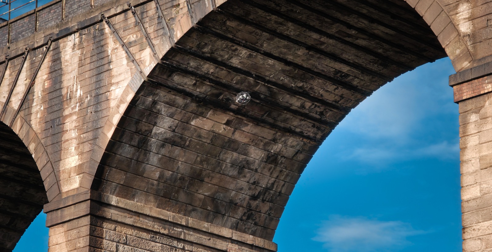
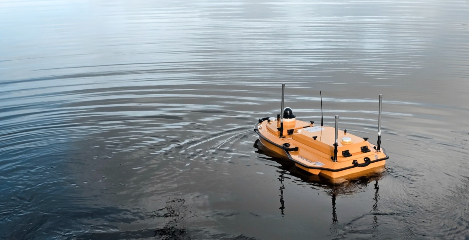
We combine advanced drone technology with specialist surveying techniques to produce LiDAR and photogrammetric point clouds, 2D and 3D textured mesh models, and 4K video, all delivered in formats tailored to your needs.
SERVICES
We have a wealth of experience across multiple sectors in a variety of locations.
We specialise in:
How we meet your challenges with our 'safe' working ethos

Safety
Safety of our people and yours is always our number one priority.

Accuracy
Accuracy is a vital component of our work and we will ensure we deliver the outputs you need.

Flexibility
Flexibility is a given, as we are client-focused, engaged and we listen & understand.

Efficiency
Efficiency is central to every project, helping to reduce time and costs.
Case studies

Burngrange Viaduct
Creating a highly-detailed 3D textured mesh model for remote asset inspection and analysis.

Fort augustus locks
Combining topographical surveying with terrestrial laser scanning (LiDAR) to capture 300m of canal locks.

railway sea defences
Our challenge was to survey over 30km of railway sea defences in 45 separate locations around Northern Ireland.