Bathymetric surveying
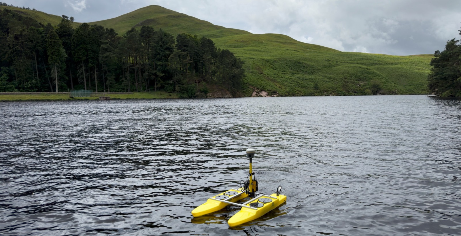
Working land, air and sea to deliver our clients the best data possible. Bathymetric surveying allows us to map the depth and topography of floors under bodies of water, ranging from small reservoirs to large river courses.
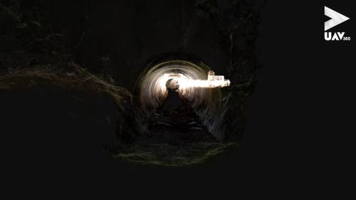
We also utilise underwater ROVs and unmanned surface vessels to collect data and inspect confined spaces e.g. water tanks, and large water bodies for bed level data.
Bathymetric case studies
The case studies below provide some recent examples of our work in bathymetric surveying, but whatever your mapping challenge is, please contact us to explore how we can deliver a solution for you.
To view all our case studies please click here.