Meadow Road Utility Survey
April 15, 2026 | Time: | Location: | Category: News
Meadow Road Utility Survey
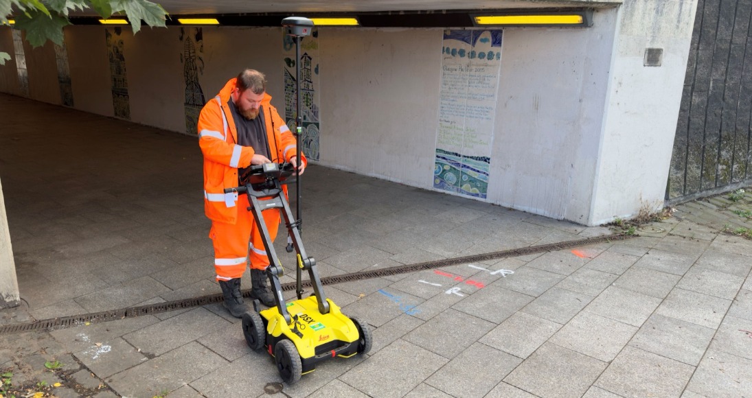
UAV365 was commissioned to undertake a PAS128 compliant utility survey for a road and demolition site in Glasgow's west end.
The survey consisted of lifting all manholes and inspection covers to mark depths and directions, along with sub-surface services located and mapped using EML (electromagnetic locating) with a CAT and genny, and GPR (ground penetrating RADAR).
| Client: | MHB |
| Location: | Glasgow, Scotland |
| Tech used: | Mala GPR, Vivax vLoc3 CAT and Genny, Trimble r12i |
| Deliverables: | Topographical and Utility CAD deliverables |
| Keywords: | #utility #survey #civilengineering #infrastructure #publicsector #landsurveying #inspection #wastewater #topographic #topography |


