Drone (UAV) Surveying
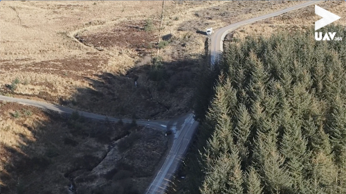
Unmanned Aerial Vehicle (UAV) data acquisition is a pioneering method within the surveying industry. In situations where hard-to-reach or hazardous environments render manned access time-consuming or dangerous, drones truly come into their own.
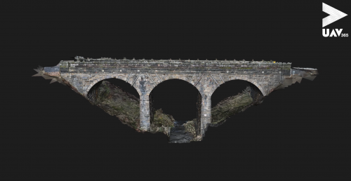
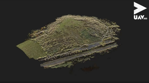
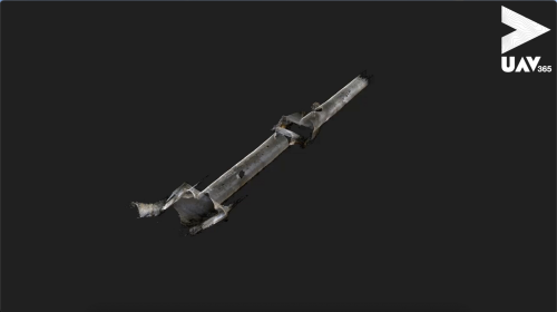
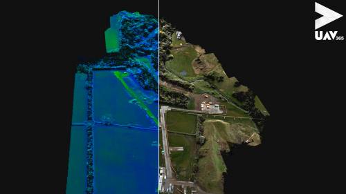
UAV365 offers services such as drone-based photogrammetry and LiDAR to produce survey-grade point clouds and 3D textured mesh models, complete with accompanying CAD linework, digitised from the data collected with our drone fleet.
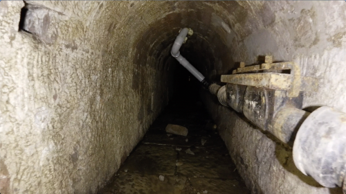
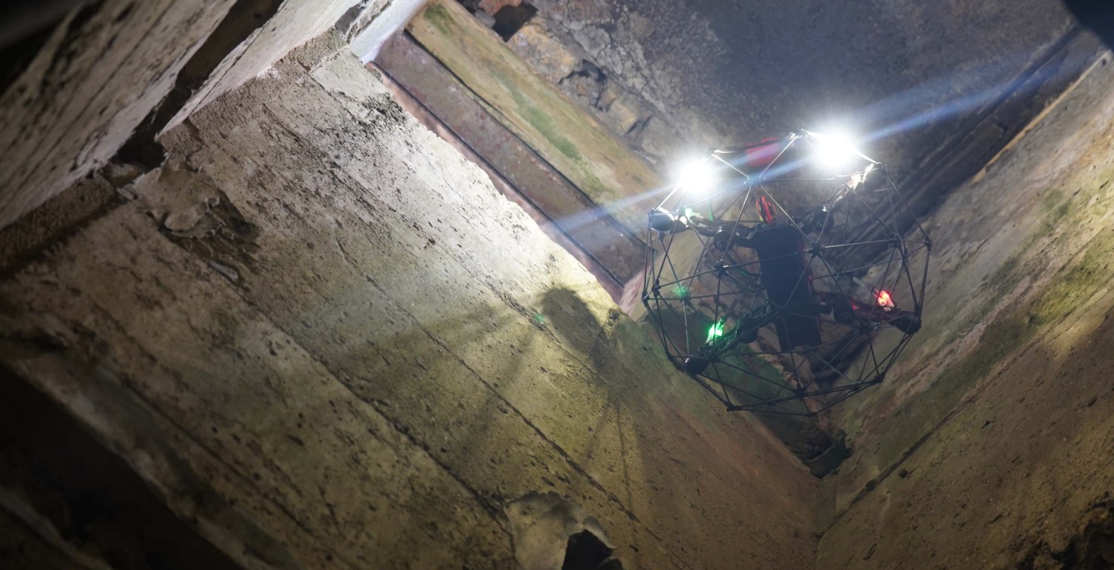
These services cover a wide range of applications, including confined spaces (such as culverts, sewers, and mines), quarrying (stockpile volume analysis), topographical surveying, and more.
Drone Surveying case studies
The case studies below provide some recent examples of our work in the drone surveying field, but whatever your mapping challenge is, please contact us to explore how we can deliver a solution for you.
To view all our case studies please click here.